
Hema Western Australia State Map
Delivery and Shipping
Delivery and Shipping
- Shipping starts at $12.99, *however occasionally Heavy or Bulky items, Dangerous Goods or deliveries to regional/remote areas may incur an extra freight charge. Our Customer Service team will be in contact if this does occur.
- Orders to major capital cities except WA generally arrive within 3 to 5 business days, WA delivery times are normally 5 to 10 business days.
- We are not liable for loss or theft after delivery - please choose a safe and secure delivery location.
- For further information please refer our Shipping & Delivery page.
365-Day Warranty
365-Day Warranty
- AutoMegaStore offers a 365-day warranty - 365 days from date of purchase. We will either credit, replace, or refund your item. The warranty covers all manufacturing faults and defects.
- For further information please refer our Warranty page.
Item Returns
Item Returns
- At AutoMegaStore, we want you to be 100% happy with your purchase. If, for any reason, you are not satisfied, you may return the product to us within 30 days of the date of purchase.
- Email us with your name, order number, and images of the intended returned product, and our Customer
Care team will arrange authorisation for the return. - For further information please refer our Refunds & Returns page.


Hema Western Australia State Map

This touring map of Western Australia includes maps of the CBD and through roads of Perth and various insets of national parks
- Features desert tracks, caravan parks, camping areas and more!
- Fully indexed and easy to read
- Includes national parks and information centres throughout Western Australia
On the reverse side of the maps are the CBD and through road maps of Perth, plus inset maps of Leeuwin-Naturaliste National Park, Cape Range National Park, Nambung National Park, Francois Peron National Park, Purnululu National Park, Walpole-Nornalup National Park and Karijini National Park. Also included are listed national parks and information centres within Western Australia.
Key Features
- Camping and rest areas
- Caravan parks
- Fuel locations
- Information centres
- Desert tracks
- Full index
Key Specifications
- Scale: 1:250,000
- Folded size (W x H x D): 140mm X 250mm x 3mm
- Flat size (W x H): 700mm X 1000mm
- Weight: 0.09kgs
Payment & Security
Payment methods
Your payment information is processed securely. We do not store credit card details nor have access to your credit card information.
Buy Now Pay Later with AfterPay or ZipPay

-
24 Hour DispatchRegular price $999Unit price
-
-
24 Hour Dispatch
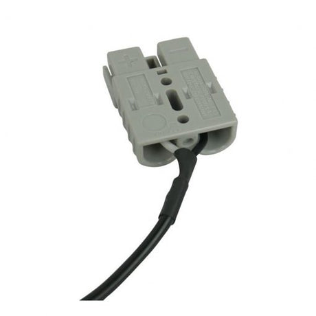
Anderson Style Plug to Waeco Fridge Plug Adaptor Lead 3m with 15A Fuse
Regular price $2399Unit price -
-
 24 Hour Dispatch
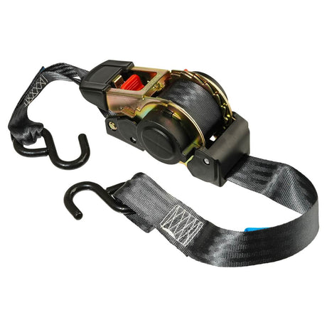
Retractable Ratchet Tie Down 500kg 38mm x 4m
Regular price $4599Unit price -
24 Hour Dispatch
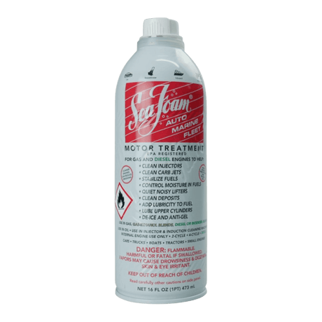
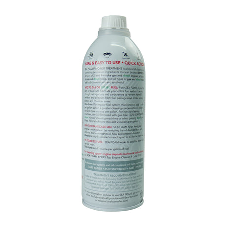
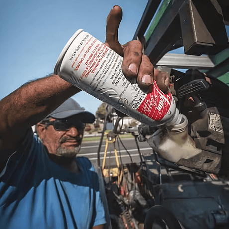
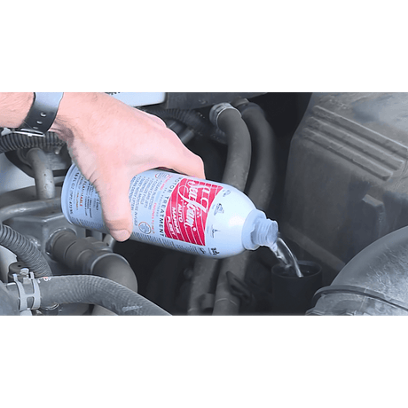
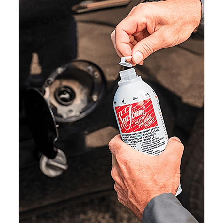
Seafoam Engine Motor Treatment 473mL
Regular price $3499Unit price -
-
 24 Hour Dispatch
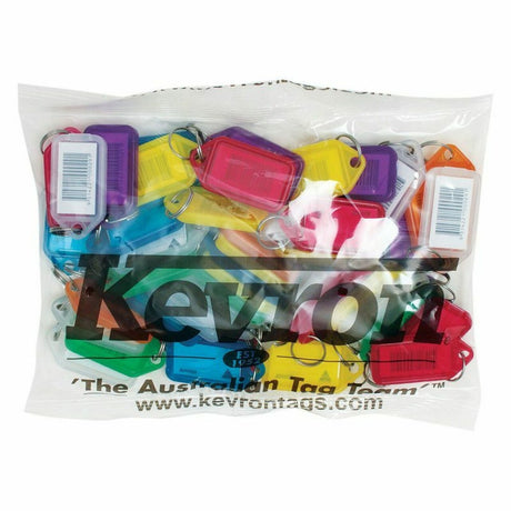
Kevron Key Tags Plastic Assorted Colours 50 Pack
Regular price $2599Unit price -
24 Hour Dispatch
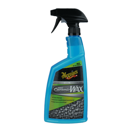
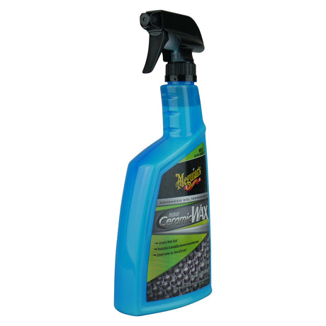
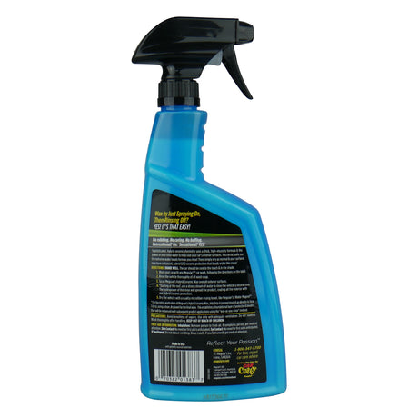
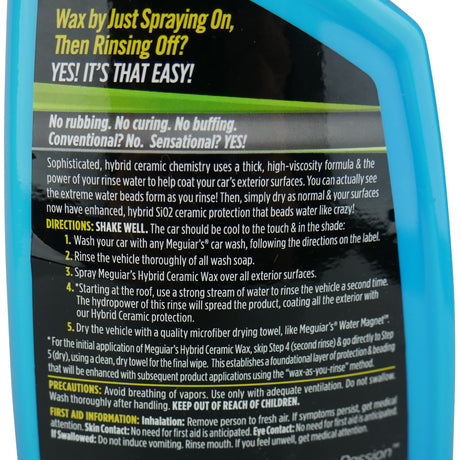
Meguiars Hybrid Ceramic Wax 768mL
Regular price $5999Unit price -
-
24 Hour Dispatch$8.00 off
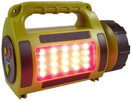
LED Spotlight & Lantern 1000LM USB Rechargeable
Sale price $7199 Regular price $7999Unit price -
-
24 Hour Dispatch
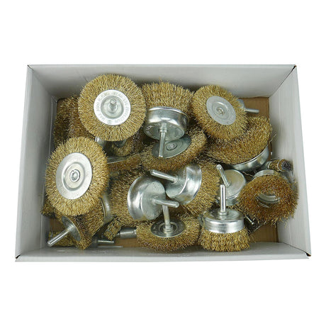
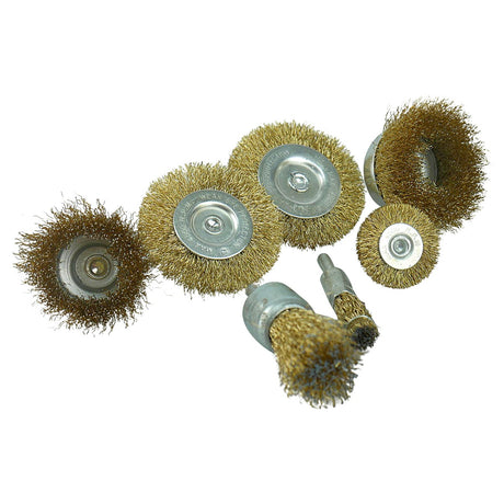
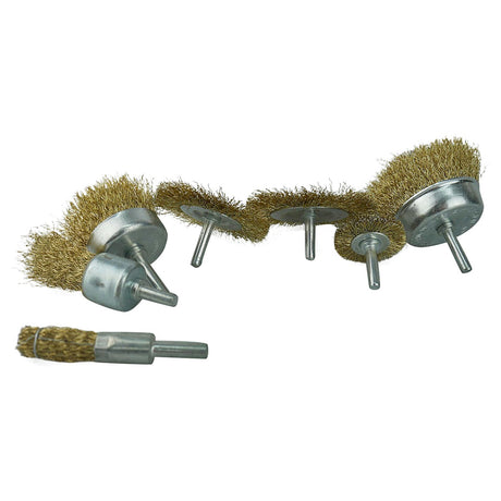
Drill Wire Brush Wheel Assortment 30 piece
Regular price $4999Unit price -
-
24 Hour Dispatch
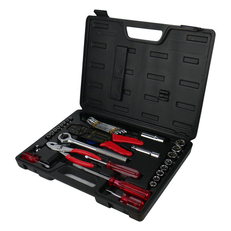
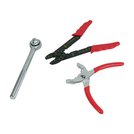
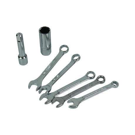
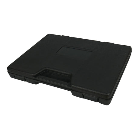
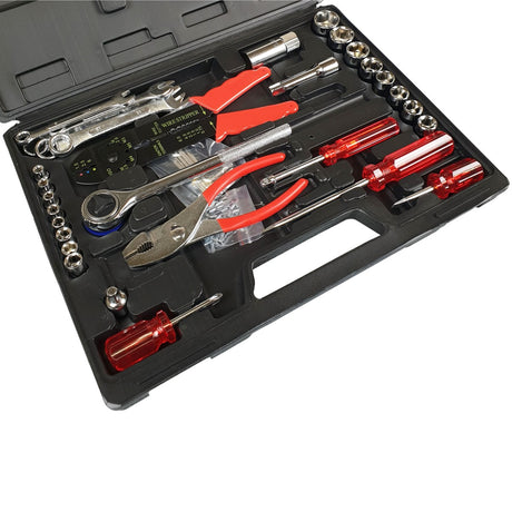
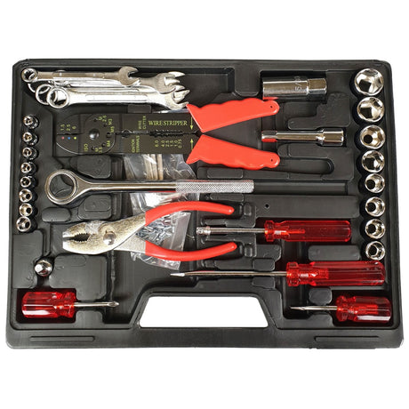
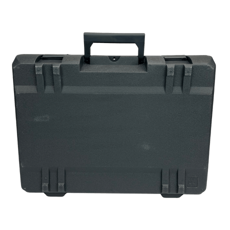
Motorist Hand Tool Kit With Compact Case 69 Piece
Regular price $4999Unit price -
-
24 Hour Dispatch
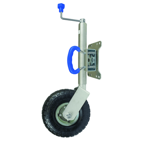
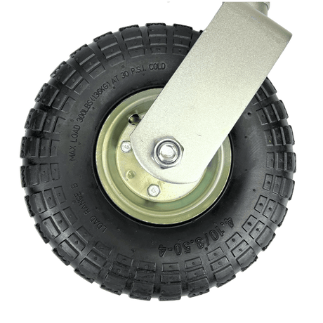
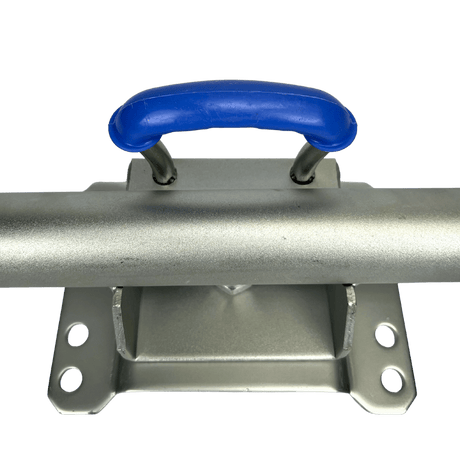
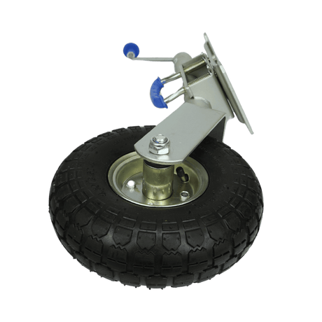
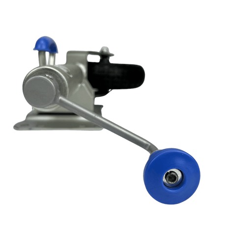
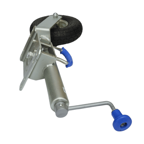
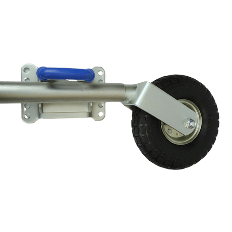
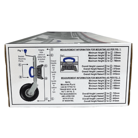
Jockey Wheel Swivel with U Handle Pneumatic Wheel
Regular price $14499Unit price -
-
 24 Hour DispatchRegular price $2599Unit price
 -
 24 Hour Dispatch
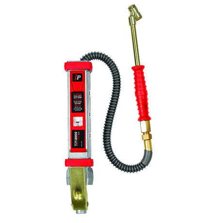
Jamec Pem Tyre Inflator TDR 2000
Regular price $12999Unit price -
24 Hour Dispatch
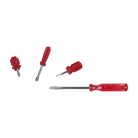
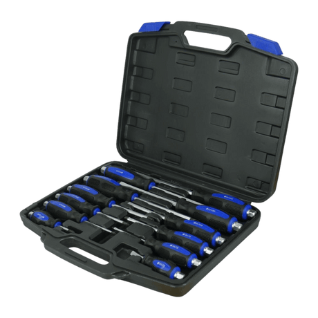
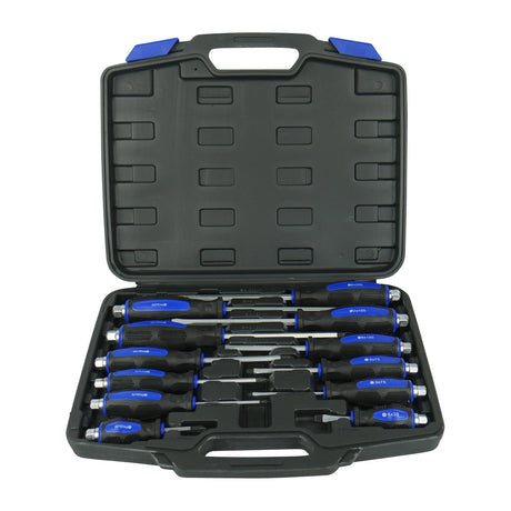
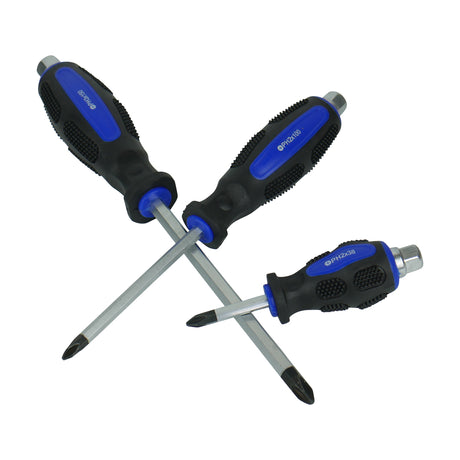
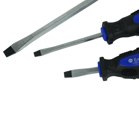
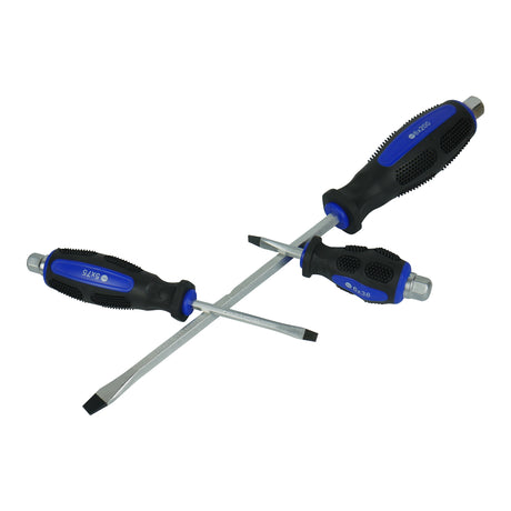
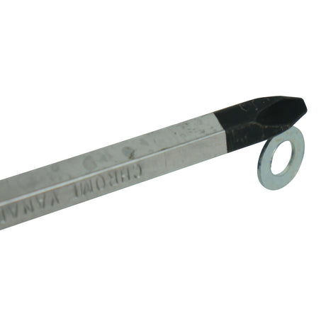
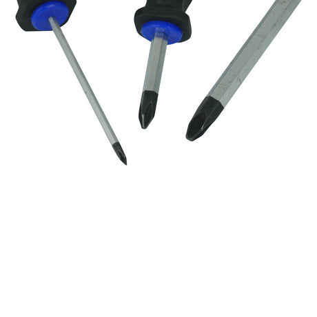
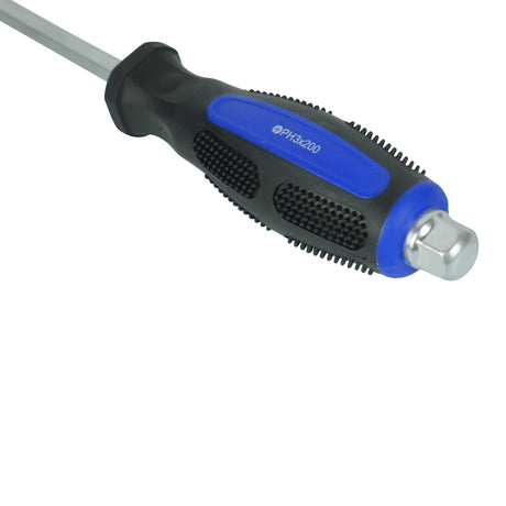
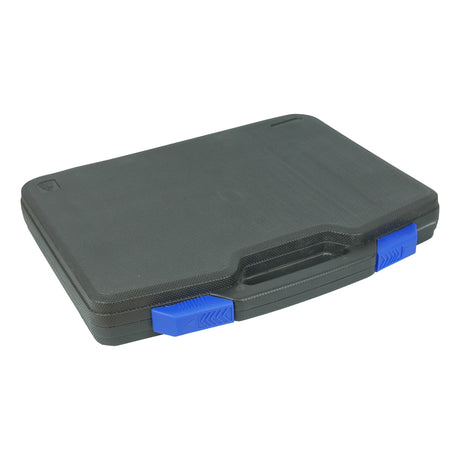
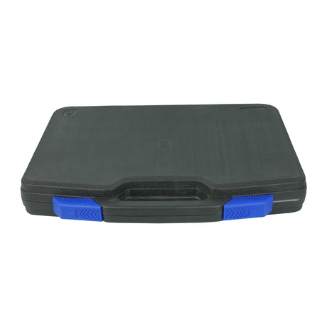
Screwdriver Set With Storage Case 12 Piece
Regular price $4699Unit price -
-
24 Hour Dispatch
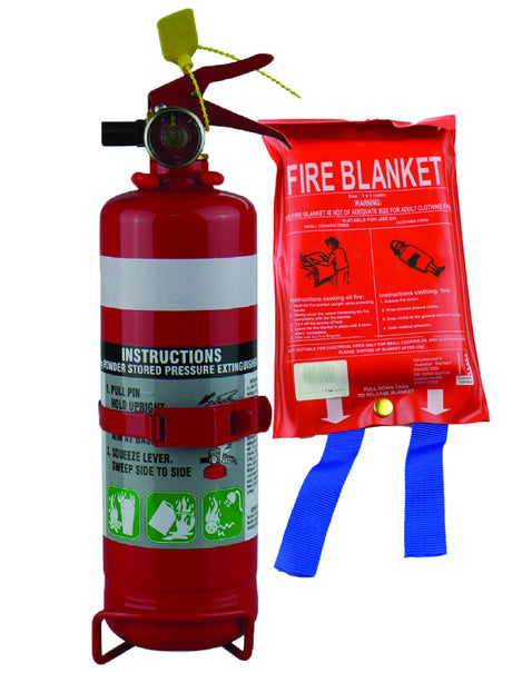
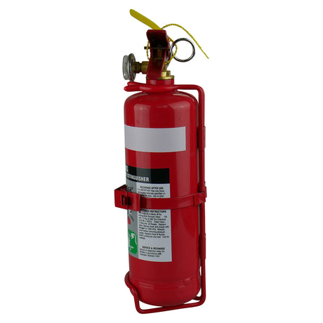
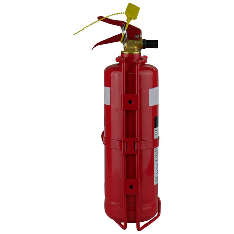
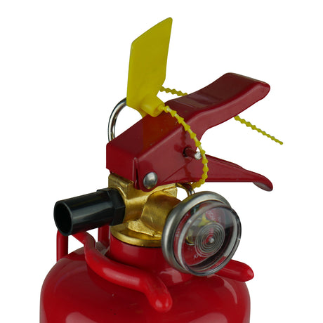
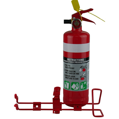
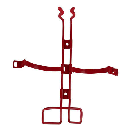
1KG Dry Chemical ABE Fire Extinguisher with HD Metal Bracket + Fire Blanket 1x1M
Regular price $5499Unit price -
-
24 Hour Dispatch
Super Soft Microfibre Wash Mitt
Regular price $1099Unit price -
-
24 Hour Dispatch$1.45 off
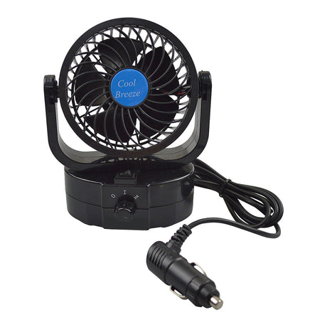
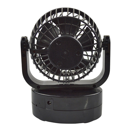
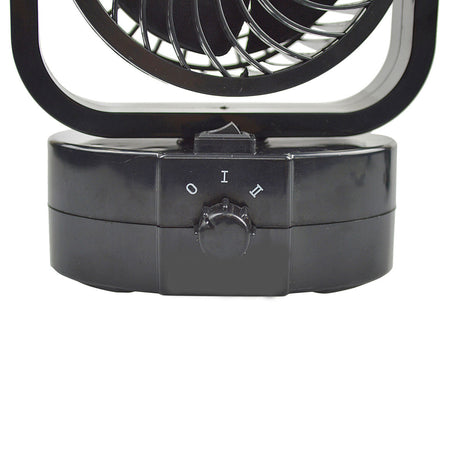
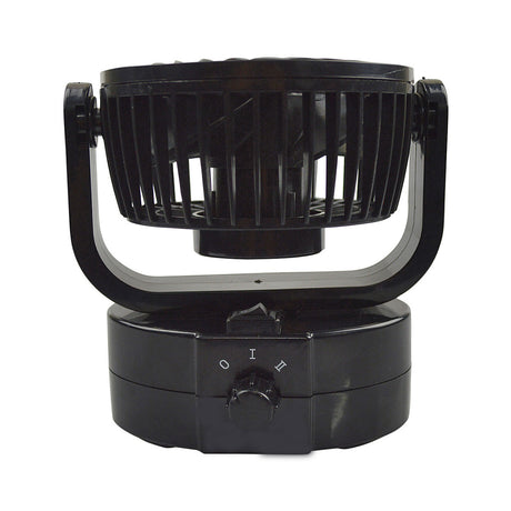
12 Volt Oscillating Fan Fully Adjustable Twin Speed
Sale price $2754 Regular price $2899Unit price -
-
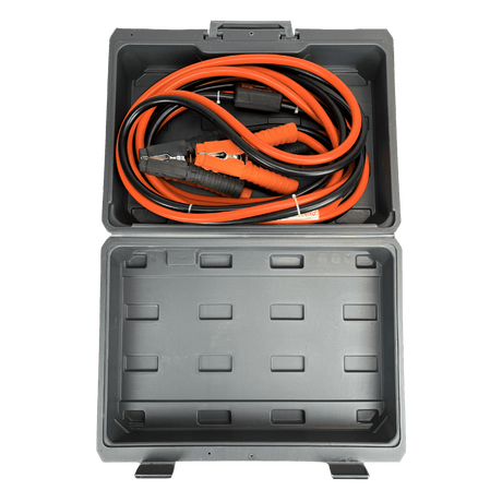
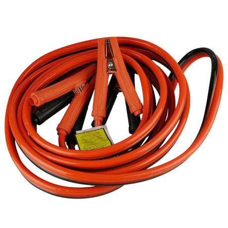
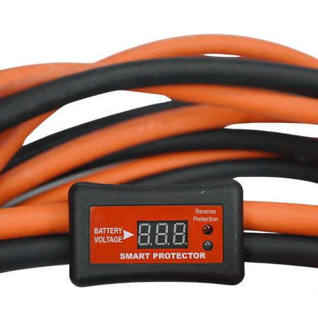
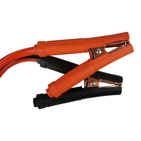
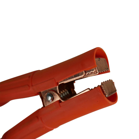
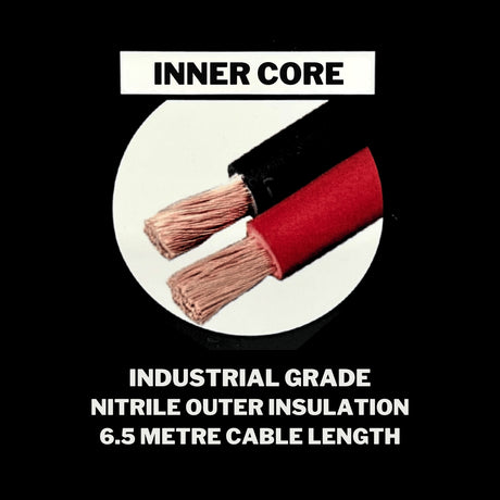
Top of the Range24 Hour Dispatch$29.00 off
1800AMP Ultra Heavy-Duty Jumper Leads
Built for heavy trucks, prime movers, tractors, farm machinery and demanding commercial applications.
Cable: 6.5m nitrile
Sale price $26099 Regular price $28999Unit price -
-
24 Hour Dispatch
Chemical Guys Blazin' Banana Carnauba Spray Wax 473mL
Regular price $4499Unit price -
-
24 Hour Dispatch
Turtle Wax Ice Seal N Shine 473mL
Regular price $3499Unit price -
-
 24 Hour Dispatch
Flamingo De-Rust Lubricant 450mL
Regular price $599Unit price